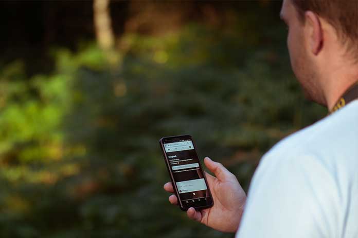
“Life takes place outside.” – you have probably heard this saying before. If you want to live happily and healthily, you should go out into nature. The fact that the sentence has lost none of its topicality today can be explained, among other things, by the high number of joggers, hikers, and cyclists – and the popularity of outdoor apps. In the app and Google Play Store, there is a multitude of different applications for outdoor use.
Outdoor apps are classically understood as applications that support you when walking, hiking, or cycling. Maps, GPS features, and statistics provide you with valuable features for trips outdoors. Which outdoor apps are recommended? What can they do in detail? What else should you look out for? We will introduce you to the best applications for outdoor use.
Apemap – The Planning Genius Among The OutDoor Apps
There are many outdoor apps, and perhaps the most complex when it comes to planning routes is called Apemap. Behind the somewhat bizarre name is an app that provides numerous options for planning routes. Apemap offers you an extensive database with defined tours that you can filter according to activities – depending on whether you plan ski tours, bike rides, excursions on mountain bikes, or hiking tours.
You can also let the app record your time — Apemap cards from Germany, Spain, Switzerland, Portugal, Italy, France, and Austria. However, most of them are chargeable. In addition, the operation is not always self-explanatory. In other words: You should perhaps not use Apemap for spontaneous route changes and quick orientation aid. The core competence of the app is clearly on route planning.
Locus Map Pro Scores With A Large Selection Of Maps
First things first: This application is currently only available for Android devices. iPhone users have to use the other outdoor apps presented here. In addition to this downer, Locus Map Pro offers a considerable range of maps. You have the choice whether you choose one of the many cards from the app or the repertoire of established publishers such as Outdooractive, IGN, or Swisstopo. All maps can be saved so that you can also use them offline. Here you have the option of only saving individual sections or the entire map. The latter is, of course, at the expense of your storage space.
However, when it comes to the selection of tours, Locus Map Pro offers a little less leeway. For example, you cannot call up a collection of pre-planned routes. Instead, you must first enter a destination. The app then shows you the appropriate tours. This is helpful if you know where you are going. Just browsing and looking for new routes, however, is not easy with this app.
Maps 3D Shows Your Routes In Three Dimensions
You can use outdoor apps with both operating systems and outdoor apps that only work on one system. Maps 3D can only be used on iOS devices. Android users, therefore, have to switch to another one of the outdoor apps presented here. The app’s core feature is the three-dimensional (if you want, two-dimensional) display of hiking routes. In this way, you can see not only roads and distances but also differences in altitude. This is particularly useful when touring in the mountains. An uphill path is, of course, much more strenuous than a tour without significant differences in length or inclines.
The 3D display is also apparent and provides you with optimal information about the upcoming route. What the third of the outdoor apps presented here completely misses is a selection of tours. In other words, if you are looking for a database of routes, you have come to the wrong address on Maps 3D. However, with the full version of the app, you can easily plan and save your routes.
With OutdoorActive, You Are Spoiled For Choice (Touring)
If there is one feature that defines the Outdooractive app, it is its wide range of tours. The application provides you with an extensive repertoire of routes to disposal. These come on the one hand from the app itself and on the other hand from the Outdooractive community. In addition to the selection of fixed routes, you can also easily plan your tours.
You can do this by either specifying the start and destination and letting the app calculate the rest or defining your waypoints. If you want to be safe and allow the app to create a route, you can adapt it using additional criteria. You can determine whether the tour should be concise, flat, or easy to walk in this way. It looks a little more difficult with the usability of the application. Outdoor apps are generally not that easy to use because they are usually very complex and have many settings.
Outdoor Apps For Altitude Enthusiasts: Bergfex
If you are looking for outdoor apps with the most excellent possible service, then you should take a closer look at Bergfex. The application offers you over 70,000 different GPS tours. All routes are sorted according to specific criteria so that you can keep an overview. Bergflex’s editorial team consists of certified authors and larger companies, such as Eifel Tourismus GmbH, who provide reliable information on individual tours.
Another plus point is the app’s usability, which enables intuitive and straightforward navigation despite the complexity of outdoor apps. However, when it comes to planning, you have to switch to the laptop. It is not possible to create your routes with the app using a smartphone. Instead, you have to plan a tour in the desktop version of Bergflex and then drag it onto your mobile phone. That, of course, makes the individual route planning a bit cumbersome.

